Of all the Filipino YouTubers' videos, the one I watch every morning is the Makoto channel on Palawan Island.
Yesterday's video was about where he would like to live in Puerto Princesa, Palawan, and he was explaining it while showing a Google map.
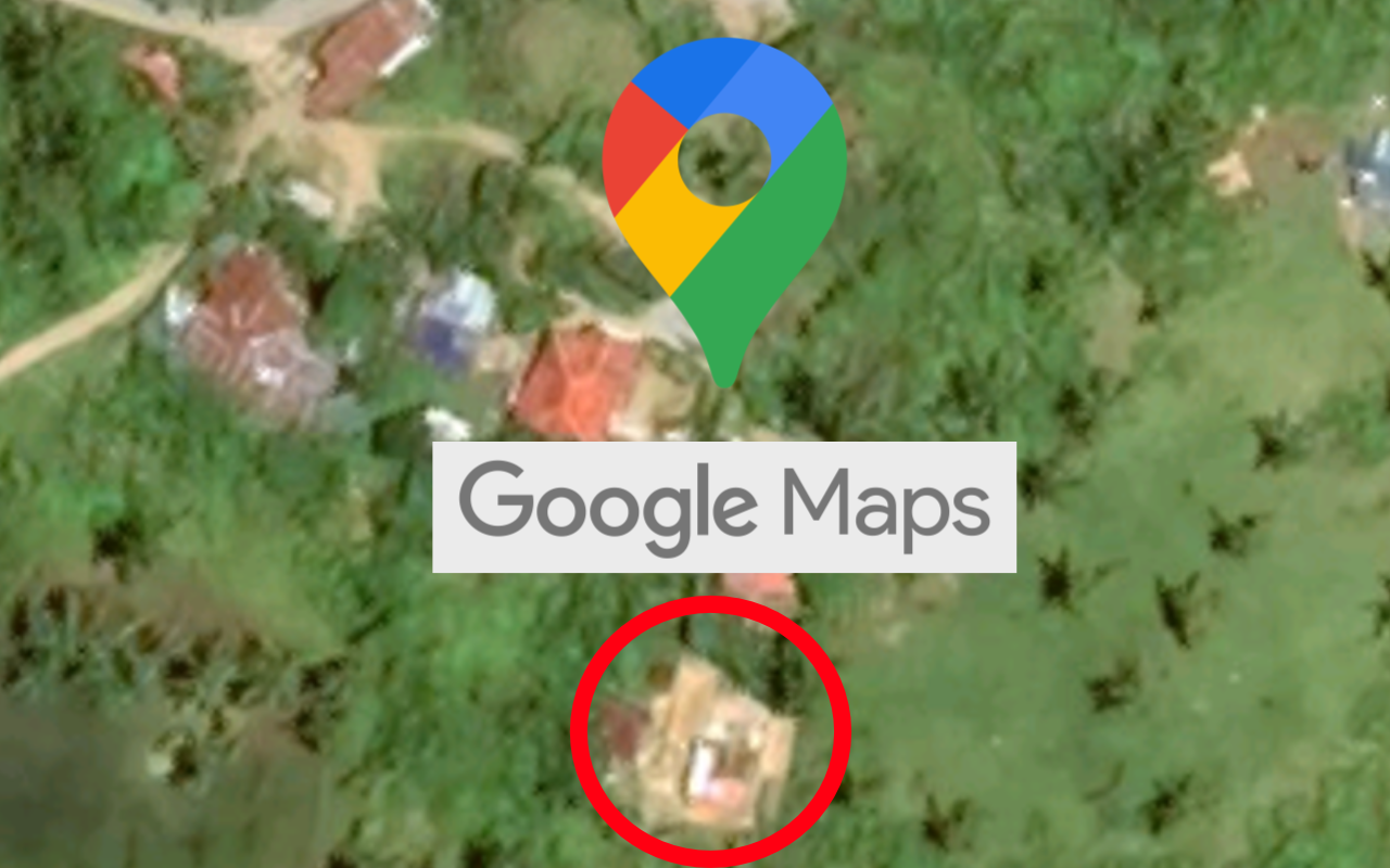
Since the YouTube screen is small, I opened the same Google Map and listened to the explanation on the screen of an aerial photo. In the same vein, I casually moved the map to Cebu Island and saw Pinamangahan and found our house under construction.
The land has been cleared and only the foundation is in place, but it is clearly visible in the picture. Although the road to the house has not been reflected as the land has only recently been cleared, you can clearly see that the area that was previously covered with greenery has been cut open.
My wife's brother did all the work from land clearing to construction, and I would like to thank him again for his hard work.
When I visit Cebu in November, I plan to thank them for their hard work and discuss future building methods with them using the drawings.
But then again, Google Maps is amazing.
Not only the aerial photos, but also the street views are interesting to look at.
Street View uses photos taken with a camera mounted on a car and images taken by a person carrying a camera on his/her back in areas where a car cannot enter, but I wonder how far the distance is when all of them are combined.
I do not know how often the aerial photos will be updated, but starting with this photo, I would like to leave a photo of our house under construction as seen from the sky each time it is updated.